
Building a Resilient Malawi Together
Your choices today shape Malawi’s tomorrow. Explore the platform, share the knowledge, and take action for a resilient future.


A Digital Climate Atlas for District-Level Risk Assessment & Adaptation Planning
Malawi is already experiencing the impacts of climate change, with hotter temperatures, shifting rainfall, and more frequent and intense extreme weather. These changes threaten farming, water resources, and the livelihoods of millions. To respond effectively, communities and leaders need clear, localised climate information such as district-level climate risks and practical adaptation options that support informed action.
The Malawi Climate Risk Mapping Platform, developed by the Government of Malawi with support from the United Nations Environment Programme (UNEP), brings together district-level climate maps, climate trends, risk assessments and adaptation guidance in a single digital climate atlas designed to support evidence-based planning and climate-resilient development.
What the Platform Helps You Do
- Understand local climate risks across Malawi
- Identify practical adaptation options tailored to each district
- Use data for planning at community, district, and national levels
- Strengthen resilience through informed action
Explore Key Climate Insights
Access essential climate insights to understand risks at district and national levels, and explore targeted adaptation strategies to strengthen resilience.

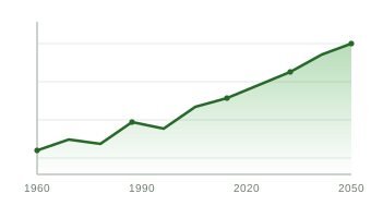
Climate trend

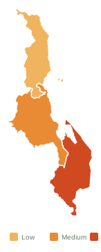
Climate risk

Adaptation options


Our Commitment to Climate Action in Malawi
We are dedicated to making climate knowledge accessible to all. Our mission is to provide experts, policymakers, and the public with reliable data, actionable insights, and adaptation strategies to address climate challenges.
By bridging science and decision-making, we empower communities to understand risks, mitigate impacts, and build a more resilient future.
Discover Impact Storylines